Just to see what is on the ground, here is a recent picture at Whistler
And two at Mount Baker
But ready to get really excited? Here is the snow forecast for the next 72 hours. Eastern WA and Oregon get covered, up to several feet in the mountains.
Next 72 hours? Several more feet in the Cascades and lots of snow over the Sierra Nevada.
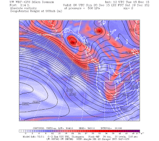
Why so much snow you ask? Because we are stuck in a very favorable, La Nina type pattern with high pressure over the subtropic Pacific and cool, northwesterly flow over our region (see upper level map). In this situation, we have a series of disturbances moving into our region from the Gulf of Alaska, with relatively low freezing levels.
We will go into the holiday season with loads of snow for skiing and recreation.
Santa is worried about too much snow.


No comments:
Post a Comment