And it is snowing about roughly 500-600 ft right now in the central Sound...here is the proof at Peter Benda's home (Bellevue) at 1170 ft:
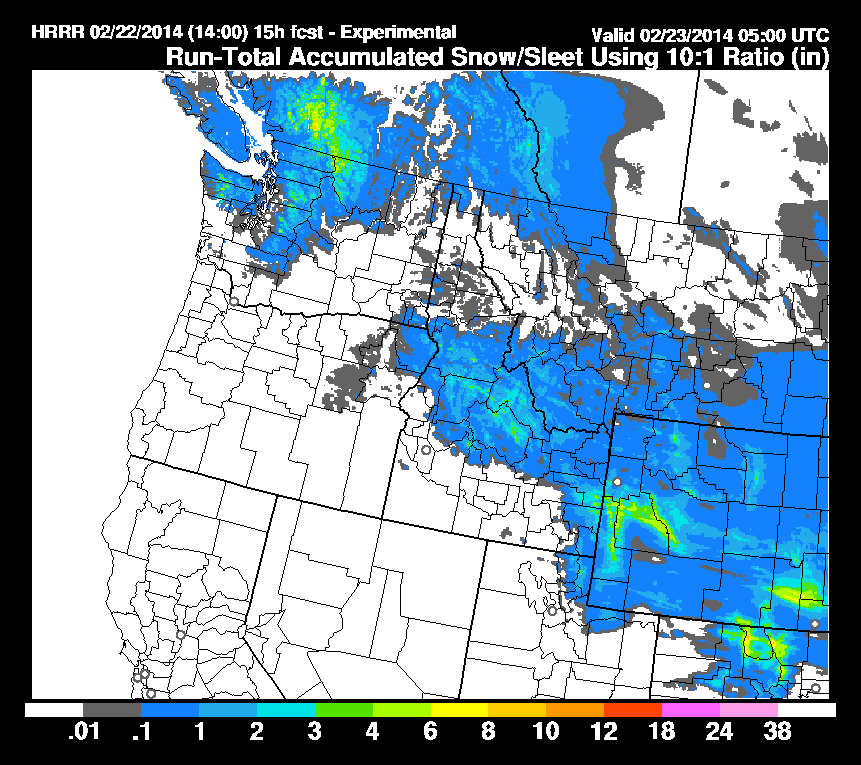
Both the UW WRF model and the NOAA Rapid Refresh suggest that Seattle and other locations near the Sound will not get any real snow (a few flakes mixed in at most at sea level). Perhaps some light snow (quarter to an inch) on the very highest hills. Here is the latest Rapid Refresh total accumulations through two times: 1 PM Saturday and 9 PM tonight (click to make bigger). The mountains will get several inches to perhaps a half foot.
The big threat will come Sunday night/Monday morning as cooler air moves back into the region and a warm front approaches. Unfortunately, for Seattle snow lovers, this air is still marginal for snow over the central Sound southward. Northwest Washington is a different story...they will get snow...so if you are in Bellingham, be prepared!
Here is the latest predicted snowfall totals for the 24h period ending 4 AM Monday. Up to a foot in the Cascades, light snow from Seattle northward, on the Kitsap Peninsula, and on the northern Olympic Peninsula (which may interrupt the golf in Sequim on Monday). With temperature on the edge for rain versus snow, there would be more snow on the top of Seattle's hills. But the snow over the Sound lowlands will be light.
Keep in mind that only a slight change in temperature and precipitation intensity could shift the snow boundary north or south. And another thing to consider: each model run cycle has reduced the threat of this snow event. Meteorologists call this dprog/dt or dmodel/dt (those who know some calculus will understand the name!). In any case, there is uncertainty in any forecast, particularly with snow predictions.
--------------------------------------------------------------------------------------------------
Announcement: The Northwest Weather Workshop will be on Feb 28th/March 1st in Seattle.
The NW Weather Workshop is the big annual gathering of those interested in the weather of the Pacific Northwest and everyone is welcome. For more information, including the agenda and registration information, please check out: https://www.atmos.washington.edu/pnww/
______________________________________________________


No comments:
Post a Comment