This morning we awoke to low clouds over the eastern Pacific and across western Washington/Oregon to the Cascade crest (see visible satellite picture at 8 AM) as a result of a weak push of marine air.

But when did these clouds move in? At night low clouds are invisible in most satellite pictures. Obviously there is no sunlight. So visible satellite imagery, like the above, shows nothing.
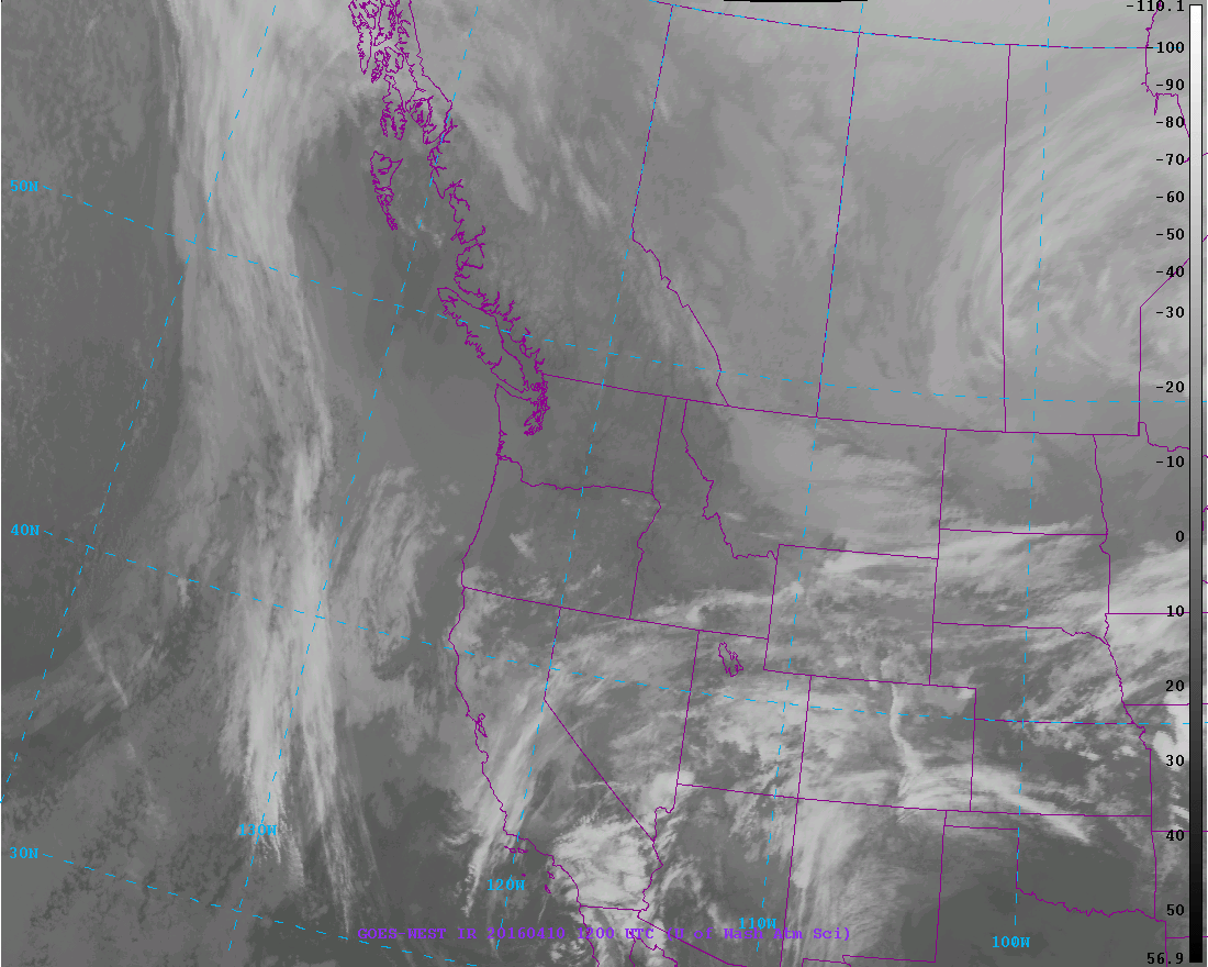
Then there is infrared satellite imagery, which is what you generally see on TV. Infrared imagery is based on the temperature of the clouds and surface (they use the emission of infrared radiation, which depends on temperature). In an infrared image, cold (generally high) features are shown by light colors, warm (generally low) by dark colors.
Here is the infrared image at 5 AM. You really can't see any low clouds over us. This makes sense, because low clouds are...low.... and thus their temperatures are very similar to the surrounding ground (dark or warm). So they are nearly invisible in the infrared.
But wily satellite meteorologists have found a way to deal with this problem: fog imagery! The National Weather Service geostationary satellites have imagers that observe the planet in a five wavelengths. One is visible and two are classic infrared. There is a water vapor channel for observing the distribution of water vapor in the atmosphere, and a short wave infrared channel, with an intermediate wavelength (around 4 microns, millionths of a meter for you tech-oriented folks).
It turns out that by looking at the difference in emission between the infrared and short wave infrared channels one can determine the location of fog and low clouds. More specifically, there is a significant difference in the emission of infrared radiation by water droplets between the infrared and short-wave infrared wavelengths; thus, the difference can be used to determine where water clouds are found (and low clouds are inevitably water clouds in most areas).
Let me show you the fog imagery at 5 AM this morning. Can you see that whiter shading over western WA and Oregon as well as the eastern Pacific. That is fog and low clouds.

Better get used to clouds. These week will be cooler with occasional showers. I will regretfully be putting my summer clothes away for a while.


No comments:
Post a Comment