Want to see the difference between early July and now? Look at these samples from the Puget Sound Clean Air Agency visibility cameras, one from July 7th and the other from yesterday morning:
Smoke from wildfires all around us. There are many fires in British Columbia to our north (see map)
And lots of fires over Washington, Oregon, Idaho, and California (see image)
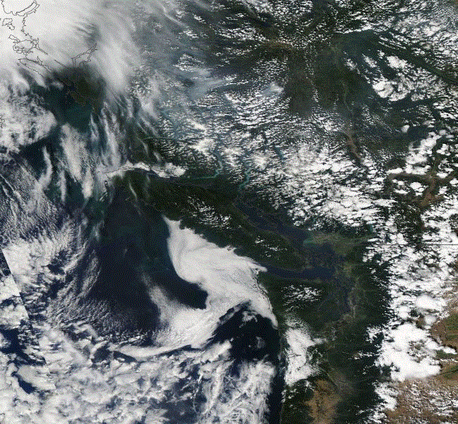
So if the winds are from North to East to South, smoky air is moving over us. During the past few days we have gotten smoke from British Columbia fires, smoke that first moved west and then south. Here is the MODIS satellite imagine on Monday...can you see the smoke over the interior of BC that is moving towards the coast?
We can run a trajectory calculation (Hysplit) to see where the air over us Monday night came from (see graphic)...yep...from coastal British Columbia.
The wildfire smoke has caused the air quality in a number of Northwest locations to decline to moderate. Here is an example from Seattle...Queen Anne Hill.
This is not the only summer we have experienced worsening visibility from regional wildfires and won't be the last.


No comments:
Post a Comment