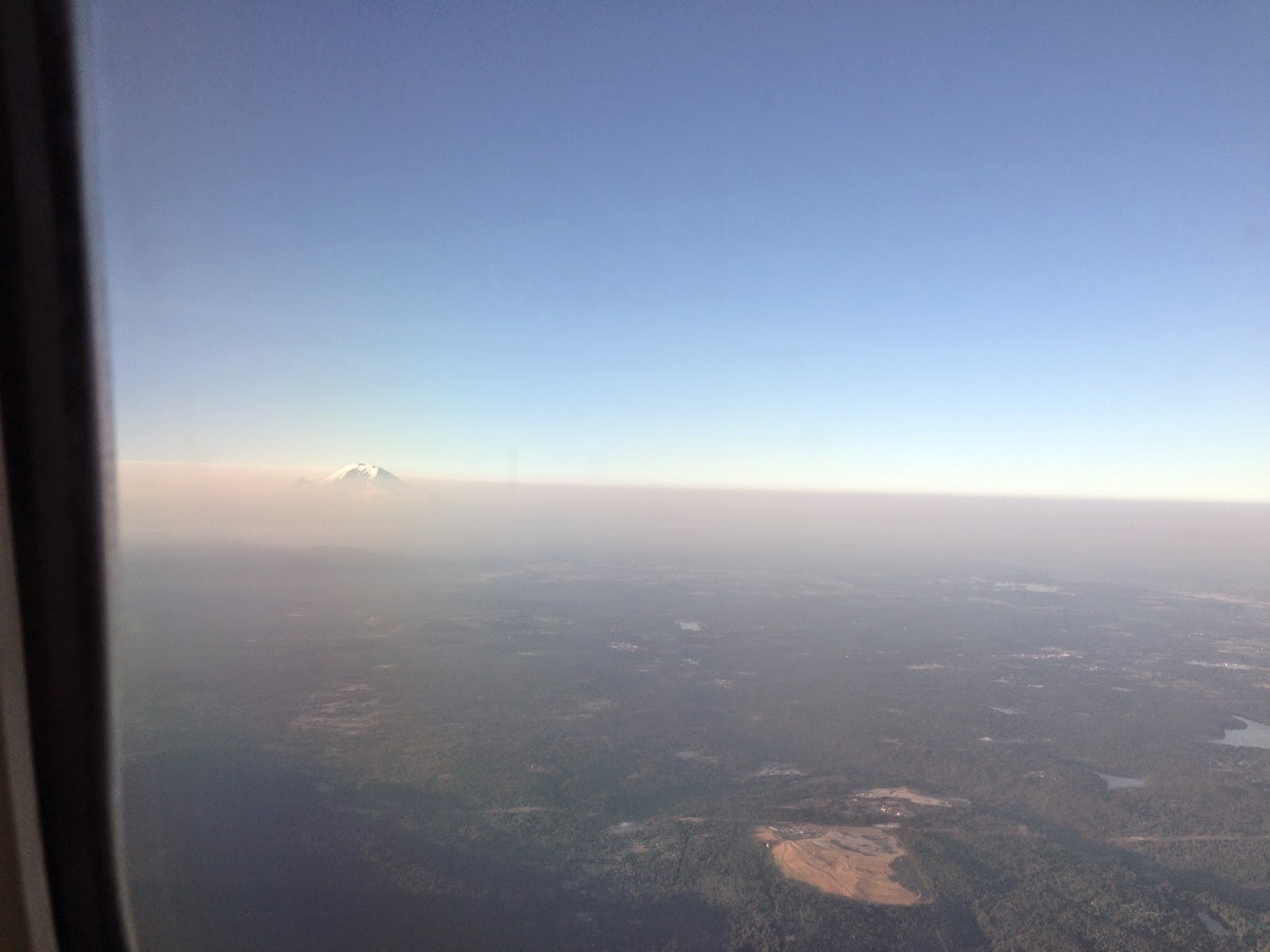
First, on the west side, approaching Mt. Rainier. You can see the smoke layer below roughly 12,000 ft.
And looking down over eastern Washington.... not exactly clear.
Right now there are over a dozen major fires burning, mainly over eastern Oregon and Washington, with the majority on the eastern slopes of the Cascades. Why there? Lots of lightning, lots of fuels, dry conditions, and very warm temperatures.
You can see a lot of smoke over the eastern Cascade slopes in this high resolution satellite picture on Sunday.
And a larger view shows a regions of substantial smoke stretching from NW Oregon into SE Washington. A lot of that smoke moved northward on Monday. Where did it come from?
The image from the satellite on Saturday is revealing....it came from the big fires over the Oregon Cascades.
Air quality today was ok west of he Cascades...not so good over the northeastern Cascade slopes with air downright unhealthy (red dot) in Leavenworth and not great in Chelan and Winthrop (orange dot).
Finally, there were some amazing temperature records in July. Several locations in eastern Washington (such as Wenatchee, Omak, and Yakima) had the warmest July on record (mean monthly temperatures). Several others had the second warmest on record (Pasco, Spokane, and Pullman). Seattle had its second warmest July as well. These are major records. Such heat combined with occasional lightning events has had its effects.
What is the Climate Prediction Center's 6-10 day forecast for temperature (see below). You guessed it:warm and dry.


.gif)


No comments:
Post a Comment