Today's storms were focused from Yakima into the central and southern Washington Cascades. The 24-h rainfall ending 7:30 PM Sunday is shown below: 1/2 inch in Yakima, with as much as .80 inches near Snoqualmie Pass and .5-1 inch over the eastern slopes of the northern Oregon Cascades.
Rain gauges can, of course, miss some significant rain features, particularly from thunderstorms. Here are the "storm totals"--mainly for this afternoon-- from the Pendleton, Oregon radar. In limited areas along the eastern slopes of the WA Cascades there was 1-2 inches.
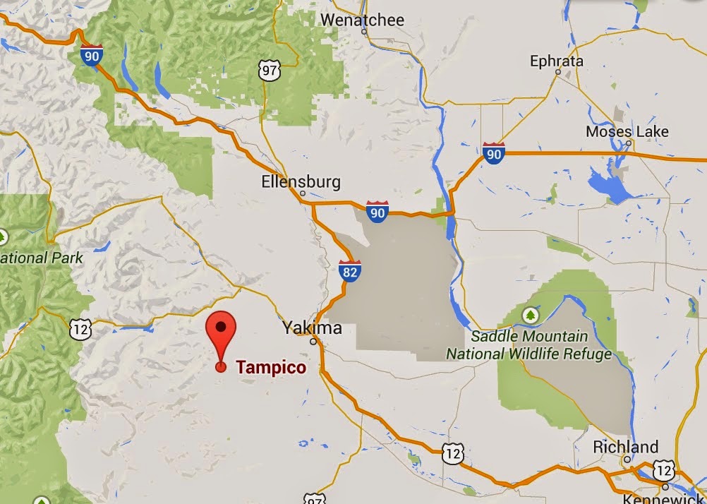
The National Weather Service had a flood warming out this afternoon for the Yakima area and there was some localized flooding over roadways. Here is a report from a NWS spotter near Tampico (east of Yakima, see map below). The spotter estimated 2 inches of rain (consistent with radar) and water running over Ahtanum Rd.
Date:08/24/2014
Time:0340 PM
Event:HEAVY RAIN
Magnitude:E2.00 INCH
Location:2 E TAMPICO
County:YAKIMA
State:WA
Source:TRAINED SPOTTER
Remarks:ESTIMATED 2.0 INCHES OF RAIN. WATER 4 INCHES DEEP RUNNING DOWN 1 LANE OF AHTANUM ROAD
A storm-total precipitation map from the Portland radar shows the Yakima precipitation and the heavy rainfall south of Hood River.
The thunderstorms today brought lots of lightning...here is the lightning strike map for the 24h ending 9 PM Sunday. Lots of lightning over the central and southern WA Cascades, as well as eastern Oregon. Some new fires have been reported.
For example, one small fire started near Selah, Washington, but was quickly extinguished (see picture)
Picture courtesy of MASON TRINCA/Yakima Herald-Republic
It looks like the lightning and thunderstorms will take a break for a few days, staring tomorrow (Monday)


No comments:
Post a Comment